BUY OUR BOOK: MOUNT ASSINIBOINE - THE STORY
Where are we?

Park: Mount Assiniboine Provincial Park, British Columbia, Canada
Closest International Airport: Calgary International Airport (YYC)
Closest town: Canmore, Alberta
Helicopter staging areas: Canmore Alpine Heliport and the Mount Shark Helipad
Main trailheads: Mount Shark and Sunshine Village Resort

Distances and Travelling Times:

Calgary International Airport to Mt Shark Helipad/Trailhead via Highway 40: 175 km, allow 2hrs(Preferred Route).

Calgary International Airport to Canmore/Canmore Alpine Heliport: 116 km, 1.5 hours drive*.

Canmore to Mt Shark Helipad/Trailhead via Highway 40: 120km, allow 2hrs.

Canmore to Mount Shark Helipad/Trailhead: 36.3 km, 1 hour drive*(Preferred Route).

Mount Shark Trailhead to Assiniboine Lodge: 27.5 km, 7-10 hour hike or cross country ski.

Canmore to the Sunshine Village Resort parking: 26.3 km, 1/2 hour drive.

Sunshine Village Resort parking to Sunshine Trailhead: 9 km shuttle bus, gondola lift or hike.

Sunshine Trailhead to Assiniboine Lodge: 27.5 km, 1-2 days hike.

If you are coming from BC this summer be sure to check DriveBC.com for Kicking Horse Pass closures which will significantly affect your travel time. 

*Allow extra time in winter to allow for seasonal road conditions


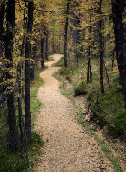
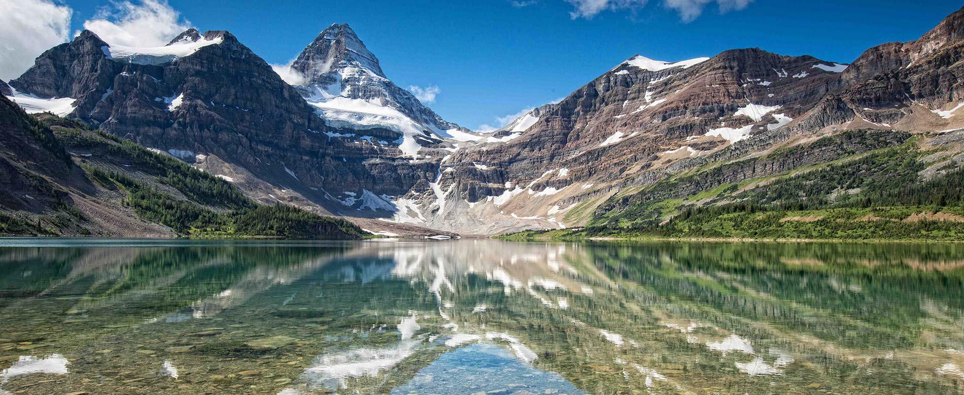
Mount Assiniboine Provincial Park is located in British Columbia. It is a high alpine backcountry park with no road access. It is accessed by a 27.5 km hike or cross-country ski or by helicopter. The core area of the Park sits at 2,180 meters (7,200 feet).

The park is roughly triangular in shape. The apex of this triangle, and the location of the Park core area, is the junction of the boundaries of Banff National Park, which follows the Continental Divide and forms the eastern boundary, and Kootenay National Park, which marks the boundary to the west. Assiniboine Lodge, the Naiset Huts and the Magog Campground are located in the core area of Mount Assiniboine Provincial Park. The southern boundary follows the height of land above Daer Creek and Extension Creek from Kootenay National Park to the Mitchell River, then easterly to Banff National Park and the Continental Divide.

The town closest to the helicopter staging areas and main hiking and skiing trailheads is Canmore, Alberta. Canmore is 116 km west of the Calgary International Airport and 30 km east of Banff (Banff National Park).  The helicopter staging area and most popular trailhead is located in Kananaskis Country, Alberta at the Mount Shark Helipad and the Mount Shark Trailhead.  Hiking access is also possible from Sunshine Resort and from Highway 93.

The GPS coordinates for the Mt Shark Trailhead are:  N50 51.554. W115 22.781   The helipad is in the same general area and is well marked with signage.

Assiniboine Access Map

Directions to the Mount Shark Helipad

Directions to the Mount Shark Helipad from Canmore- 36.3 kilometers (22.6 miles). Driving time approximately one hour

  • Follow signs to the Canmore Nordic Center and stay on the Spray Lakes Road, which becomes the Smith-Dorrien Spray Trail (#742 South). Follow this well maintained gravel road for about 37 km along Spray Lakes until your reach the Mount Shark turn off.  
  • Turn right onto the Mount Shark Road. Drive past Engadine Lodge and over the bridge.
  • Continue 2.5 kilometers on a winding road and turn left following the sign to the Mount Shark Heliport.
  • The helipad is a short walking distance from the parking lot. Do not drive to the helipad.

Directions to the Mount Shark Helipad from Calgary- approximate driving time is 2.5-3 hours.

  • Follow Highway #1 (Trans-Canada Highway West) and exit on Highway #40 (Kananaskis Trail).
  • Turn left and head south on Highway 40. You will pass the Nakiska Ski Hill, Kananaskis Golf Course and Fortress Mountain Ski Hill.
  • Turn right (west) at the Smith-Dorrien Spray Trail turnoff (# 742).
  • Turn right again and follow the Smith-Dorrien Spray Trail for about 30 kilometers.
  • Turn left onto Mount Shark Road. Drive past Engadine Lodge and over the bridge.
  • Continue down a winding road for 2.5 kilometers and turn left following the sign to the Mount Shark Heliport.
  • The helipad is a short walking distance from the parking lot. Do not drive to the helipad.

Directions to the Mount Shark Helipad from Canmore via Highway 40- approximate driving time is 2 hours.

  • Follow Highway #1 (Trans-Canada Highway East) and exit on Highway #40 (Kananaskis Trail).
  • Turn right and head south on Highway 40. You will pass the Nakiska Ski Hill, Kananaskis Golf Course and Fortress Mountain Ski Hill.
  • Turn right (west) at the Smith-Dorrien Spray Trail turnoff (# 742).
  • Turn right again and follow the Smith-Dorrien Spray Trail for about 30 kilometers.
  • Turn left onto Mount Shark Road. Drive past Engadine Lodge and over the bridge.
  • Continue down a winding road for 2.5 kilometers and turn left following the sign to the Mount Shark Heliport.
  • The helipad is a short walking distance from the parking lot. Do not drive to the helipad.