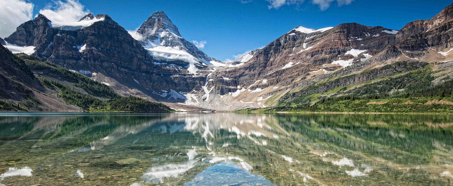
Mount Assiniboine Provincial Park is located in British Columbia. It is a high alpine backcountry park with no road access. It is accessed by a 27.5 km hike or cross-country ski or by helicopter. The core area of the Park sits at 2,180 meters (7,200 feet).
The park is roughly triangular in shape. The apex of this triangle, and the location of the Park core area, is the junction of the boundaries of Banff National Park, which follows the Continental Divide and forms the eastern boundary, and Kootenay National Park, which marks the boundary to the west. Assiniboine Lodge, the Naiset Huts and the Magog Campground are located in the core area of Mount Assiniboine Provincial Park. The southern boundary follows the height of land above Daer Creek and Extension Creek from Kootenay National Park to the Mitchell River, then easterly to Banff National Park and the Continental Divide.
The town closest to the helicopter staging areas and main hiking and skiing trailheads is Canmore, Alberta. Canmore is 116 km west of the Calgary International Airport and 30 km east of Banff (Banff National Park). The helicopter staging area and most popular trailhead is located in Kananaskis Country, Alberta at the Mount Shark Helipad and the Mount Shark Trailhead. Hiking access is also possible from Sunshine Resort and from Highway 93.
The GPS coordinates for the Mt Shark Trailhead are: N50 51.554. W115 22.781 The helipad is in the same general area and is well marked with signage.


